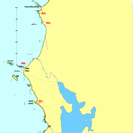
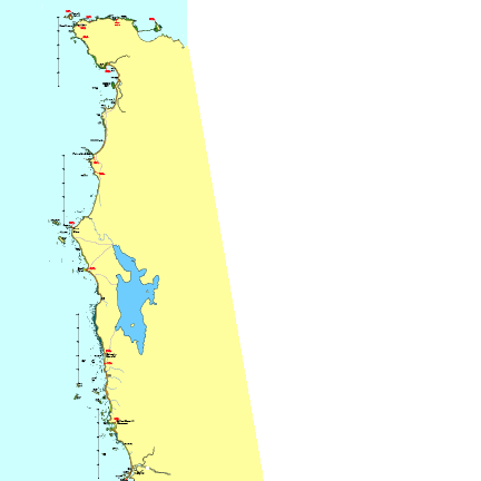
Washington Olympic Coast
Kayak Chart Download Page
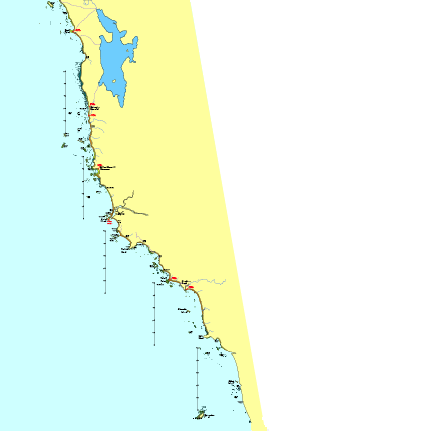
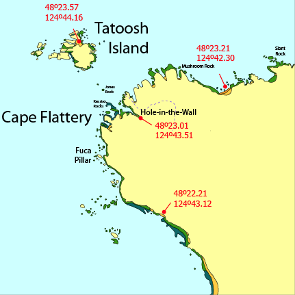
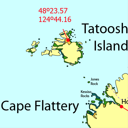
The images below illustrate the magnification available from the downloaded chart file without any pixelation.
Download Washington Olympic Coast Chart (PDF)The Washington coast is a difficult coast to map for the kayaker. The possible landing sites vary widely depending on the tide and the swell. Many beaches are sandy at high tide and rocky to one degree or another at lower tides. An easy landing spot at high tide is often difficult at low tide. There are a huge number of offshore rocks that play a major role in the kayaking seascape, but their influence varies with the tide and the direction and height of the swell. The relevant micro-environments are hard to capture on a map.
Overview
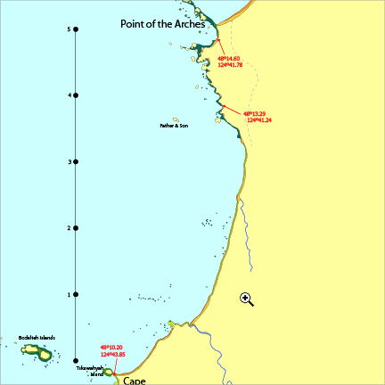
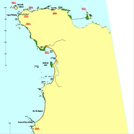
Cape Flattery Detail
Progressive magnification of the Cape Flattery area
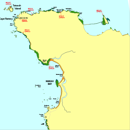
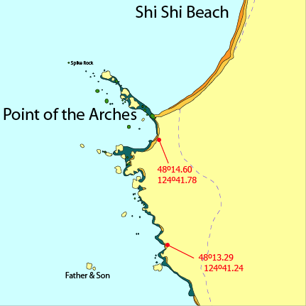
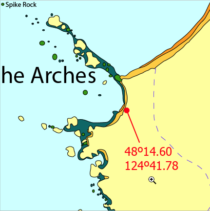
Point of the Arches Detail
Progressive magnification of the Point of the Arches area